Business Goal:
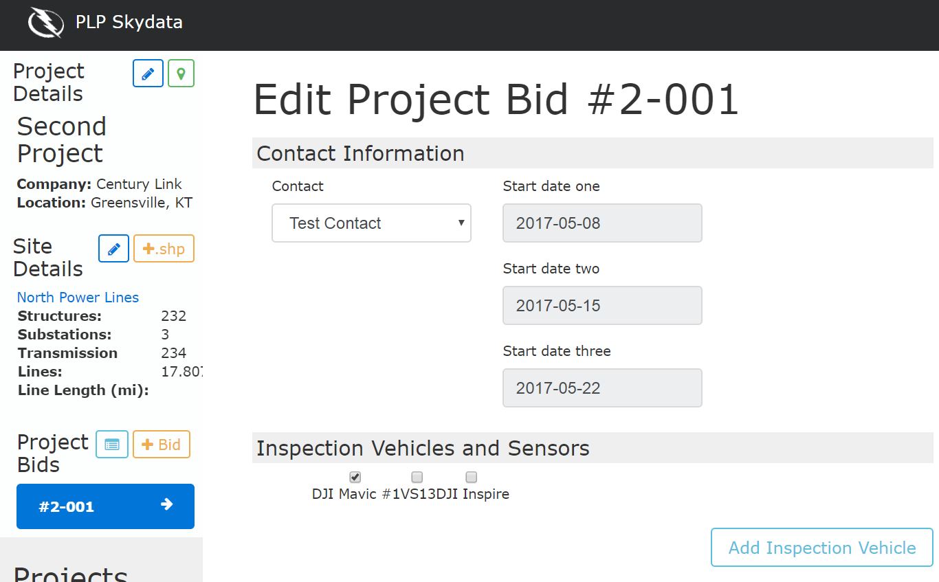
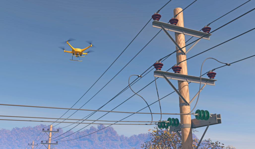
Drone technologies have dramatically decreased the costs of inspecting utilities assets such as towers and power lines. Our client asked us to create a tool that would enable commercial drone operators to create sound estimates for complicated projects. These estimates are then converted to standardized contracts which are submitted to utility customers.
Cost: $$
Calendar Time: 3 Months
Technologies: Ionic, Ruby, Javascript, Angular, MYSQL
Innovations:
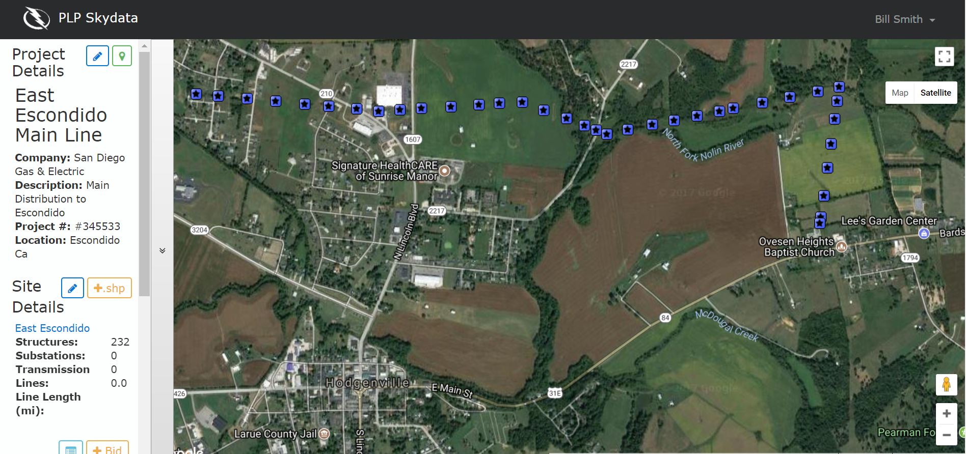
Import facility for ARCGIS “shape” files to describe the assets to be inspected. Business rules and formula engine to convert project parameters to an estimable scope of work. Supports multiple site uploads and multi-point support through a mapping application.
Deliverables:
- Responsive web app
- Dashboard
- PDF Contracts
Outcome:
Interactive and user friendly map application used to add custom site location points.
Import Utility Asset Lists from Arc GIS to scope the project.
Simplifies the process of bidding complex jobs. The utilities get faster service, and the operators get more business with fewer bidding errors.
Create a rich description of project details.
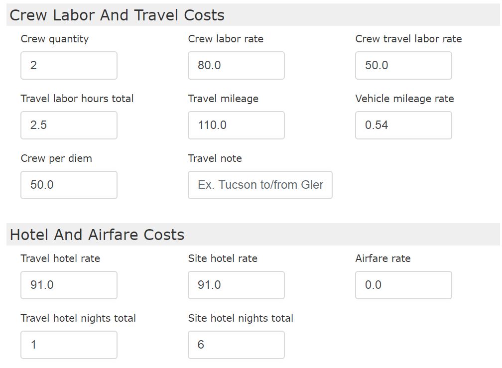
The app accounts for travel and other project expenses.

